Cookie Consent by Free Privacy Policy website Document: Begere FCA 01-02 map | Forests Portal

Begere FCA 01-02 map

Concessions mentioned in this document:


                                                   750,000                                      755,000
                             EMETI STATION


                              IOWA


                                 IOWA MISSION


                                                                    KURIA
9,125,000


                                                                                                                                                      9,125,000
9,120,000


                                                                                                                                                      9,120,000
                                                                                       ARAGI


            Legend
            (
            !
                Settlement
                Road
                Begere FCA Boundary

                                                   750,000                                      755,000


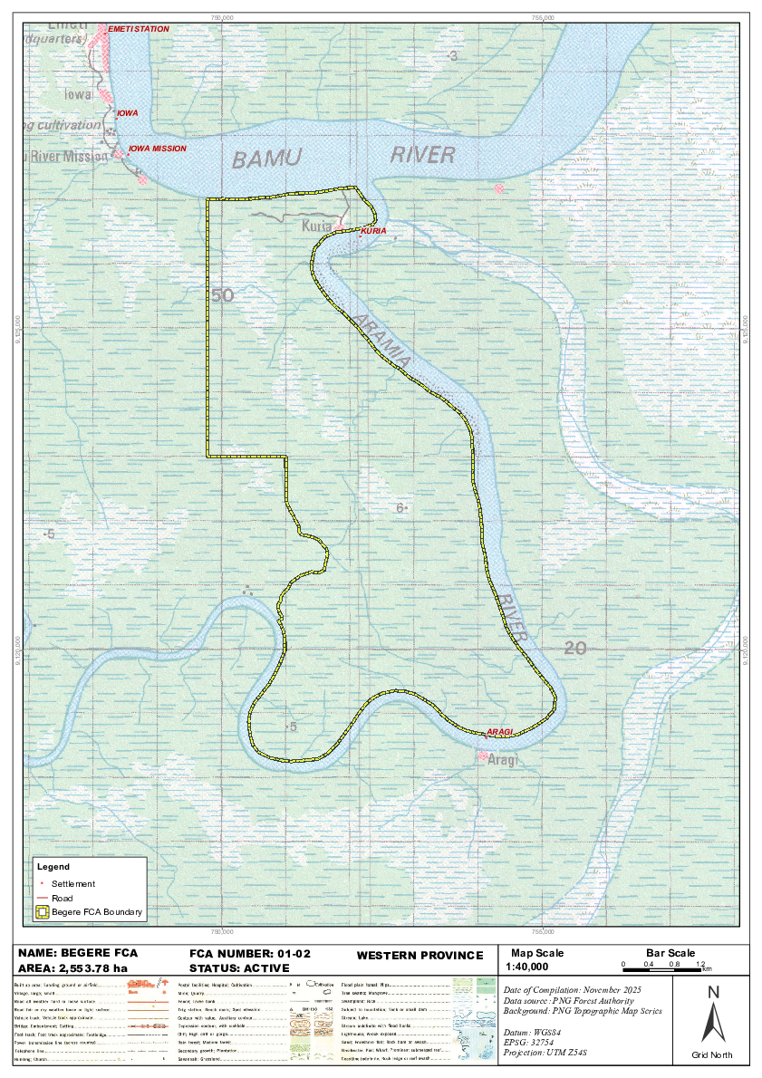
     NAME: BEGERE FCA                           FCA NUMBER: 01-02   WESTERN PROVINCE       Map Scale                        Bar Scale
     AREA: 2,553.78 ha                          STATUS: ACTIVE                            1:40,000                    0    0.4     0.8    1.2
                                                                                                                                            km


                                                                                                                                           ±
                                                                                          Date of Compilation: November 2025
                                                                                          Data source: PNG Forest Authority
                                                                                          Background: PNG Topographic Map Series

                                                                                          Datum: WGS84
                                                                                          EPSG: 32754
                                                                                          Projection: UTM Z54S                           Grid North

Page 1 screenshot