Cookie Consent by Free Privacy Policy website Document: 
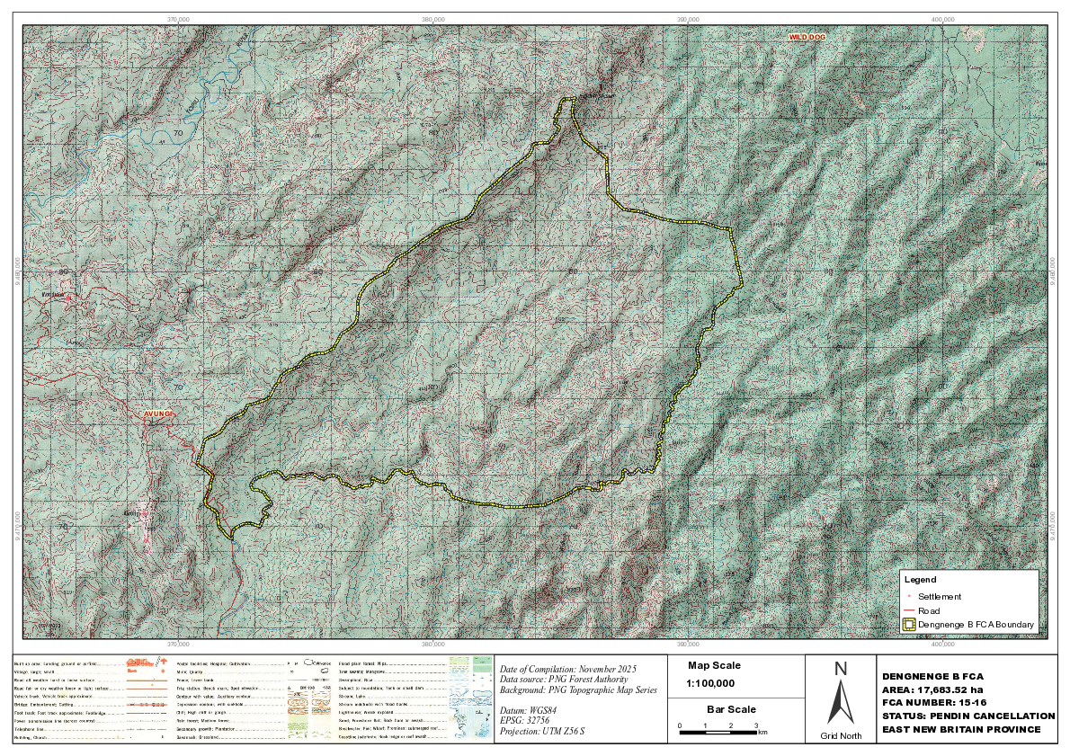
Dengnenge B FCA 15-16 map | Forests Portal

                 370,000   380,000                                            390,000                                               400,000

                                                                                                      WILD DOG
9,480,000


                                                                                                                                                            9,480,000
            AVUNGI
9,470,000


                                                                                                                                                            9,470,000
                                                                                                                            Legend
                                                                                                                             !
                                                                                                                             (
                                                                                                                                 Settlement
                                                                                                                                 Road
                                                                                                                                 Dengnenge B FCA Boundary

                 370,000   380,000                                            390,000                                               400,000


                                                                                                                 ±
                                     Date of Compilation: November 2025           Map Scale
                                     Data source: PNG Forest Authority                                                   DENGNENGE B FCA
                                                                                  1:100,000
                                     Background: PNG Topographic Map Series                                              AREA: 17,683.52 ha
                                                                                                                         FCA NUMBER: 15-16
                                     Datum: WGS84                                       Bar Scale
                                     EPSG: 32756
                                                                                                                         STATUS: PENDIN CANCELLATION
                                                                              0         1   2   3
                                     Projection: UTM Z56 S                                       km                      EAST NEW BRITAIN PROVINCE
                                                                                                            Grid North

Page 1 screenshot