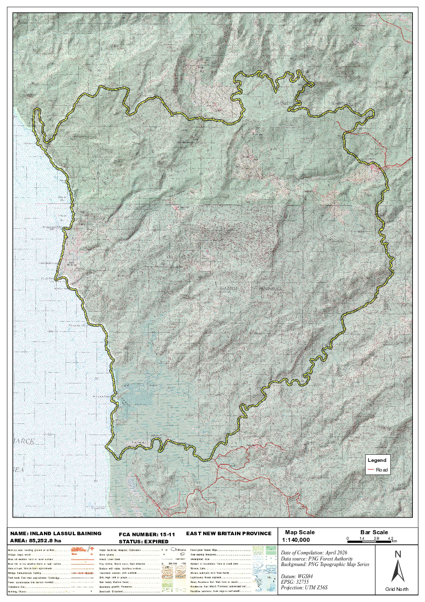
Inland Lassul Baining FCA 15-11 map
Concessions mentioned in this document:
                                                                                                                     Legend
                                                                                                                        Road


NAME: INLAND LASSUL BAINING   FCA NUMBER: 15-11   EAST NEW BRITAIN PROVINCE    Map Scale                        Bar Scale
AREA: 85,252.8 ha             STATUS: EXPIRED                                 1:140,000                   0    1.4     2.8     4.2
                                                                                                                                 km


                                                                                                                                ±
                                                                              Date of Compilation: April 2026
                                                                              Data source: PNG Forest Authority
                                                                              Background: PNG Topographic Map Series

                                                                              Datum: WGS84
                                                                              EPSG: 32755
                                                                              Projection: UTM Z56S                           Grid North