Cookie Consent by Free Privacy Policy website Document: Pohowa FCA 18-01 map | Forests Portal

Pohowa FCA 18-01 map

Concessions mentioned in this document:


9,770,000                             480,000                                            490,000                                                                500,000


                                                                                                                                                                          9,770,000
9,760,000


                                                                                                                                                                          9,760,000
                                                WAMARAI


                                                           KUPOANOU

                                                           TIMOENAI                                                    PELIPOWAI
                                                                                                   PELIPOWAI
                                                                                                    GOVT.STN

            Legend
            !
            (
                Settlement
                Road
                Pohowa FCA Boundary

                                      480,000                                            490,000                                                                500,000


                                                                                                                                    ±
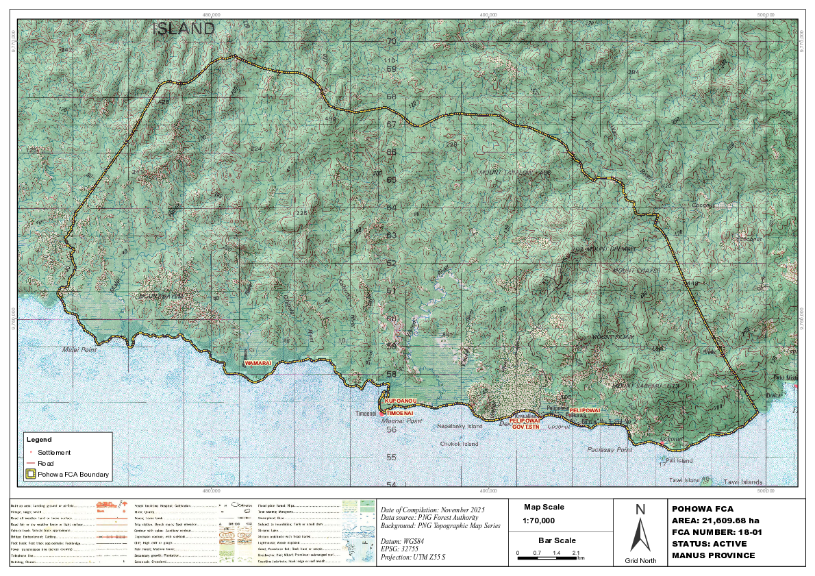
                                                          Date of Compilation: November 2025             Map Scale                              POHOWA FCA
                                                          Data source: PNG Forest Authority                                                     AREA: 21,609.68 ha
                                                                                                         1:70,000
                                                          Background: PNG Topographic Map Series
                                                                                                                                                FCA NUMBER: 18-01
                                                          Datum: WGS84                                      Bar Scale                           STATUS: ACTIVE
                                                          EPSG: 32755
                                                          Projection: UTM Z55 S
                                                                                                     0     0.7   1.4   2.1
                                                                                                                         km                     MANUS PROVINCE
                                                                                                                                   Grid North

Page 1 screenshot